Telecommunication & Submarine Cable
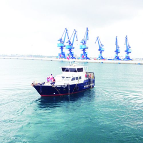
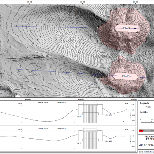
Locatech Services sarl offer precise seabed mapping to determine a safe cabling route. We also perform surveying services from landfall to any desired ocean depth for your long distance repeatered inter-continental systems. Apart from pre-installation surveys, we offers post-lay monitoring to verify that subsea cables are precisely positioned without entanglement and harm to the environment. Our vessels are equipped with swathe bathymetry, digital side-scan sonar, multi-beam echo sounder, sub-bottom profiling and magnetometers to deliver accurate site investigation and quality data collection.
Our team of experts provide an accurate evaluation of the hydrographic and geophysical data to support the planning and installation of the vast network of subsea cables – helping you achieve economic and operational success.
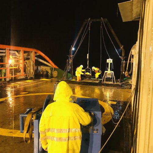
Our vessels are equipped with specialised acoustic and seabed sampling instrumentation to conduct geophysical geotechnical surveys at any point between your landing sites. For nearshore jobs, we provide burial assessment surveys and cable-route surveys for short distance coastal festoon systems.
Our service comprises but is not limited to the following activities:
Feasibility Studies
Route Planning & Engineering
Desk Top Studies
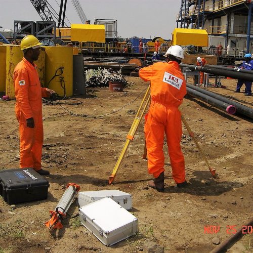
Route Surveys
Burial Assessment Surveys
Installation Survey Support
Landing site identification and assessment
Cable route planning and engineering
Risk identification and assessment
Cable route survey
Cable laying
Route planning
Burial assessment


